A Novel Graph Optimisation Approach to Localisation (GOAL) with Application for Unmanned Systems
Synopsis
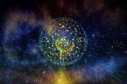
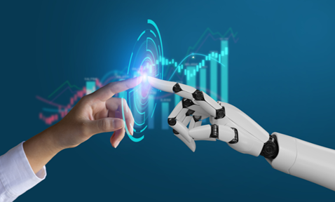
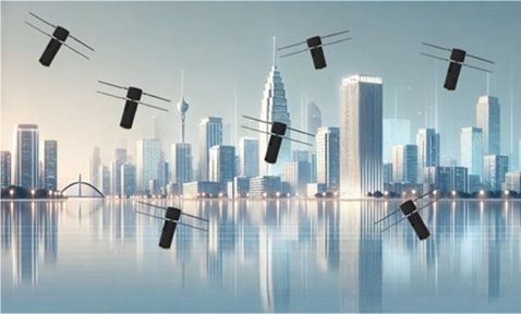
The GOAL algorithm addresses the need for precise localisation in autonomous robots, optimising energy consumption while delivering high accuracy. In the growing field of robotics, GOAL aligns with market trends, especially in the small drone sector, where precise localisation is crucial for applications like agriculture and transportation.
Opportunity
Accurate localisation in both 2D and 3D spaces plays a pivotal role in various robot-related applications and is essential for the success of autonomous robots. The GOAL algorithm provides precise localisation capabilities, and is especially beneficial for lower-power computational devices. The small drones market, driven by applications in agriculture, transportation, and healthcare, exemplifies where precise localisation is crucial. The GOAL algorithm meets these growing market needs while optimising resource usage, particularly in unmanned systems and autonomous robots.
Technology
The GOAL technology focuses on precise localisation of robots in both 2D and 3D spaces using ultra-wideband (UWB)-aided localisation systems. It accommodates various sensors, including inertial measurement units (IMUs), Wi-Fi, optical flow, and cameras. This novel graph-based approach offers exceptional altitude estimation without the need for additional sensors, enhancing performance and reducing costs. GOAL also filters out non-line-of-sight (NLOS) measurements, making it adaptable to challenging environments where direct line-of-sight may be obstructed. Its flexible moving window design optimises computational resources and enhances resilience to signal losses, benefiting robots with ultra-low-power processors. Overall, GOAL offers superior altitude estimation, NLOS tolerance, and resource efficiency, making it a versatile and cost-effective solution for various robotics applications.
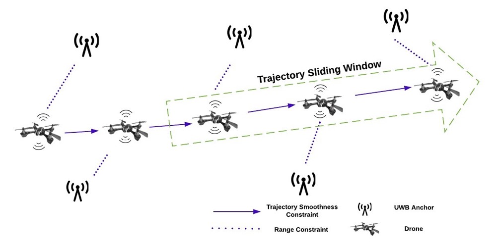
Figure 1: Proposed range-based localisation framework of GOAL.
Applications & Advantages
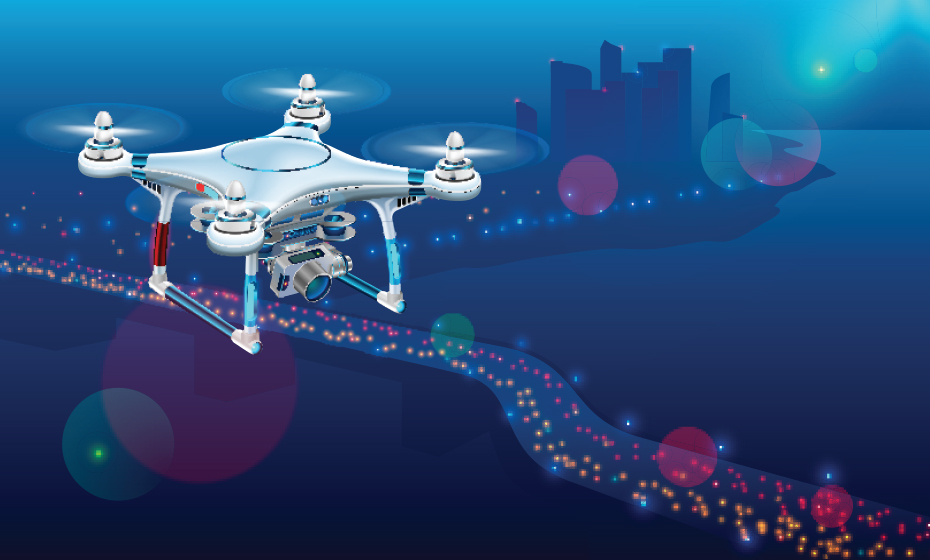
Unmanned Aerial Vehicles (UAVs): Enables precise navigation, mapping, and surveillance for UAVs in agriculture, construction, and aerial photography.
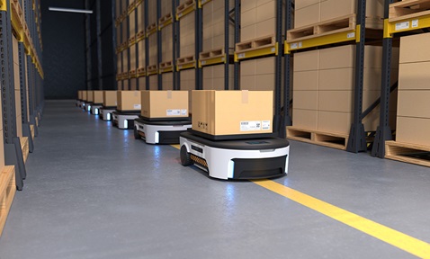
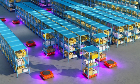
Unmanned Ground Vehicles (UGVs): Enhances navigation and terrain adaptability for UGVs in logistics, mining, and search and rescue operations.
Autonomous Cars: Improves the safety and reliability of self-driving vehicles by providing accurate localisation on the road.
Robotic Systems: Benefits industrial, medical, and delivery robots, enhancing performance and autonomy.
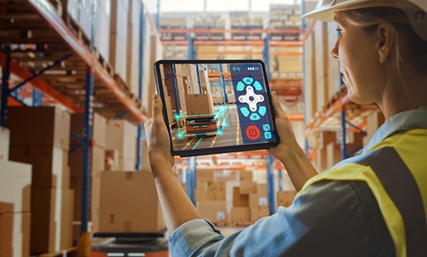
IoT and Smart Devices: Enables precise positioning for IoT and smart devices, supporting location-based services and augmented-reality experiences.
.tmb-listing.jpg?Culture=en&sfvrsn=57e7d9a3_1)